


62 KM ROUTE / 100 KM ROUTE / 160 KM ROUTE
** Provisional Route Subject to Final Event Risk Assesment**
Anyone who thought the Midlands lacked any tough hills will want to think again!
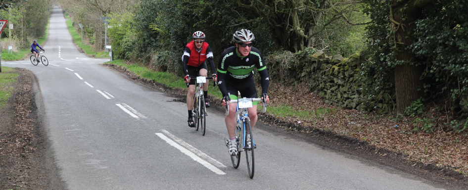
A photographer will be on route to capture you at the start / finish line and also out on the route. There will be one feed station which will be packed full of drinks and snacks. Our feed stations stock a variety of drinks and sweet and savoury snacks.
Feed Station Locations
1. Wymondham Windmill Tearoom, 37 Km
Route Statistics (Data Acquired from Ridewithgps.com)
Exact Distance: 62.5 Km
Elevation: 477 m
Maximum Gradient: 11.2%