


65 KM ROUTE / 100 KM ROUTE / 160 KM ROUTE
Routes Confirmed & Available to Download
View this route on Ride with GPS - https://ridewithgps.com/routes/10578804
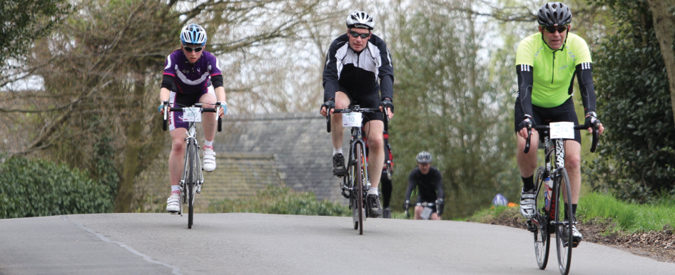
The 160 km route offers a challenging ride through the heart of the East Midlands, winding its way through the quiet country lanes located throughout the National Forest. The route is centred around the Charnwood Forest, which is an area of ancient woodland located just outside Loughborough famed for a number of country parks including Bradgate Park and Beacon Hill.
Riders will first pass through this area as they head on the first outward leg through the picturesque villages and country lanes around Bosworth Battlefield and Thornton Reservoir. This leg of the route is rolling with a number of gradual climbs to warm the legs up before heading back towards Loughborough and the Charnwood Forest where the elevation begins to ramp up. A number of tough climbs will lead you towards the second outward leg to explore the area around Ticknall and Staunton Harold Reservoir near Calke Abbey, which is a well preserved National Trust property. The final part of the route passes through the Charnwood Forest area where the climbing begins in earnest and for anyone who thought the midlands lacked any tough hills you may want to think again as there is no rest until that well-earned meal back at the HQ.
A photographer will be on route to capture you. There will be three feed stations which will be packed full of drinks and snacks. Our feed stations stock a variety of drinks and sweet and savoury snacks.
Feed Station Locations
1. Repton Village Hall - 38.1 Km (DE65 6GR)
2. King Edward VII Science and Sport College - 70.1 Km (LE67 4UW)
3. Somerby Village Hall - 114.9 Km (LE14 2PZ)
Route Statistics
Exact Distance: 165.8 Km
Elevation: 1771 m